As technology is advancing quickly, there’s a possibility that travel NFT and metaverse could change the industry in the future. But for now, we all depend on practical and helpful tools. One such tool is Google Maps, which is a tourist’s flashlight when in new places.
Have you encountered anyone who hasn’t used Google Maps during their travels? I haven’t come across such a person in the past decade, at least.
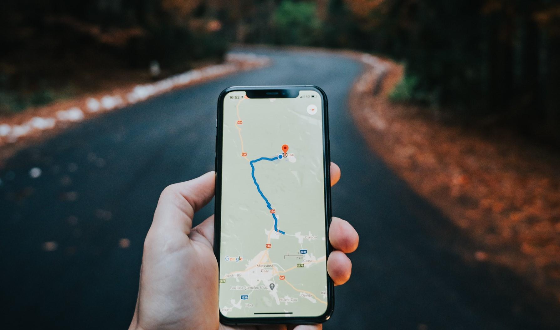
Google Maps is an online mapping service developed by Google. It helps people find locations, get directions, and explore places around the world. With real-time traffic information, public transit details, and street view imagery, it makes traveling and navigating easier for users. Whether you’re driving, walking, or using public transportation, Google Maps provides valuable assistance to help you reach your destination efficiently.
Google Maps for travelers
So how can Google Maps help tourists who need assistance finding locations, checking traffic, and knowing the prices of restaurants and cafes?
Google Maps’ real-time features are invaluable tools that significantly enhance the travel experience for users. These features provide up-to-date information and navigation assistance, making it easier for travelers to explore new places and navigate through unfamiliar territories.
Here are some common ways in which Google Maps’ real-time features help travelers:
Accurate Traffic Information
Google Maps uses real-time data to analyze traffic conditions on roads, highways, and streets. It provides live updates on traffic congestion, accidents, and construction, allowing travelers to choose the most efficient route to their destination. This feature is particularly useful for avoiding traffic jams and reducing travel time.
Public Transit Information
In cities with comprehensive public transportation systems, Google Maps displays real-time data on buses, trains, subways, and other transit options. When I was in Amsterdam recently, I used Google Maps many times a day to find my way around using buses, trains, and other public transportation. It was a huge help and made my trip much easier. Travelers in Google Maps can see the departure and arrival times, delays, and service changes, helping them plan their journeys efficiently.
Estimated Time of Arrival (ETA)
Google Maps calculates the estimated time of arrival based on real-time traffic conditions, vehicle speed, and distance. This feature enables travelers to have a better understanding of when they will reach their destination, aiding in time management and planning.
Explore Nearby Places
With real-time data, Google Maps can show travelers nearby attractions, restaurants, hotels, and other points of interest. Users can quickly discover options in their vicinity and make spontaneous decisions during their travels.

Live Location Sharing
Google Maps allows users to share their real-time location with friends and family. This feature is particularly useful for solo travelers who want to ensure loved ones can track their whereabouts and safety.
Weather Information
Google Maps provides weather forecasts for specific locations, giving travelers insights into the weather conditions at their destination or along their route. This helps travelers pack appropriately and plan outdoor activities accordingly.
Street View
Google Maps’ Street View feature offers 360-degree panoramic images of streets and landmarks, enabling travelers to virtually explore a destination before physically visiting it. This helps travelers get a sense of the area’s layout, architecture, and ambiance.
Local Business Information
Google Maps provides real-time information on local businesses, including their hours of operation, reviews, contact details, and popular times. This feature assists travelers in finding open establishments, reading reviews, and choosing the best places to visit.
Offline Maps
While real-time features primarily require an internet connection, Google Maps also allows users to download offline maps. This is particularly beneficial for travelers who might encounter limited connectivity during their journeys, ensuring they can still access essential map data and navigate offline.
Overall, Google Maps’ real-time features have become indispensable tools for travelers worldwide, offering convenience, efficiency, and reliability throughout their journeys. Google Maps is a popular tool that can be a modern tourist’s best friend. It can save you from using lots of other websites and apps to get information while you travel.