The Devil’s Bridge is a natural bridge located on the Vorotan River in the Syunik Region of the Republic of Armenia. It spans approximately 30 meters in length and 50-60 meters in width, and is formed by mineral springs and travertines from the surrounding area.
The bridge is characterized by stones and wrinkles underneath and is traversed by the Goris-Tatev highway. The name “Devil’s Bridge” has various interpretations, with some attributing it to the numerous drowning incidents that have occurred in the area. Another theory suggests that the bridge receives less water than it releases due to the mineral water droplets from above.
Swimming under the bridge and exiting on the other side is feasible, but it should only be attempted by individuals with knowledge of the area and under the guidance of an experienced person. Moreover, this activity should be undertaken during specific months, namely August and September.
To fully explore all angles of the Devil’s Bridge, favorable weather conditions are necessary. However, during periods of low water levels, it is safe to enter the first cave.
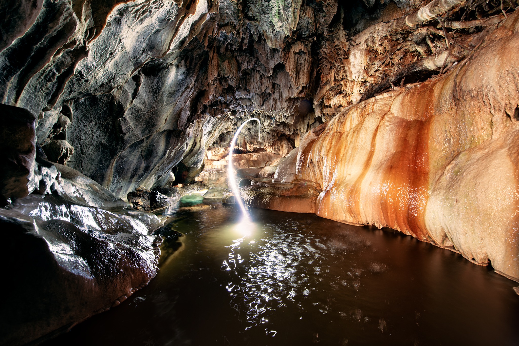
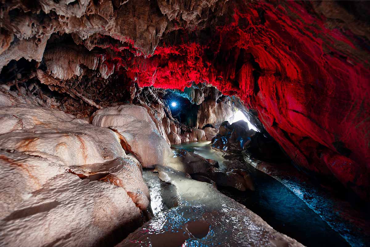
The output of the cave is narrow, look back to access. This is the only part of the way to continue the road safely. It’s impossible to pass it without wetting.
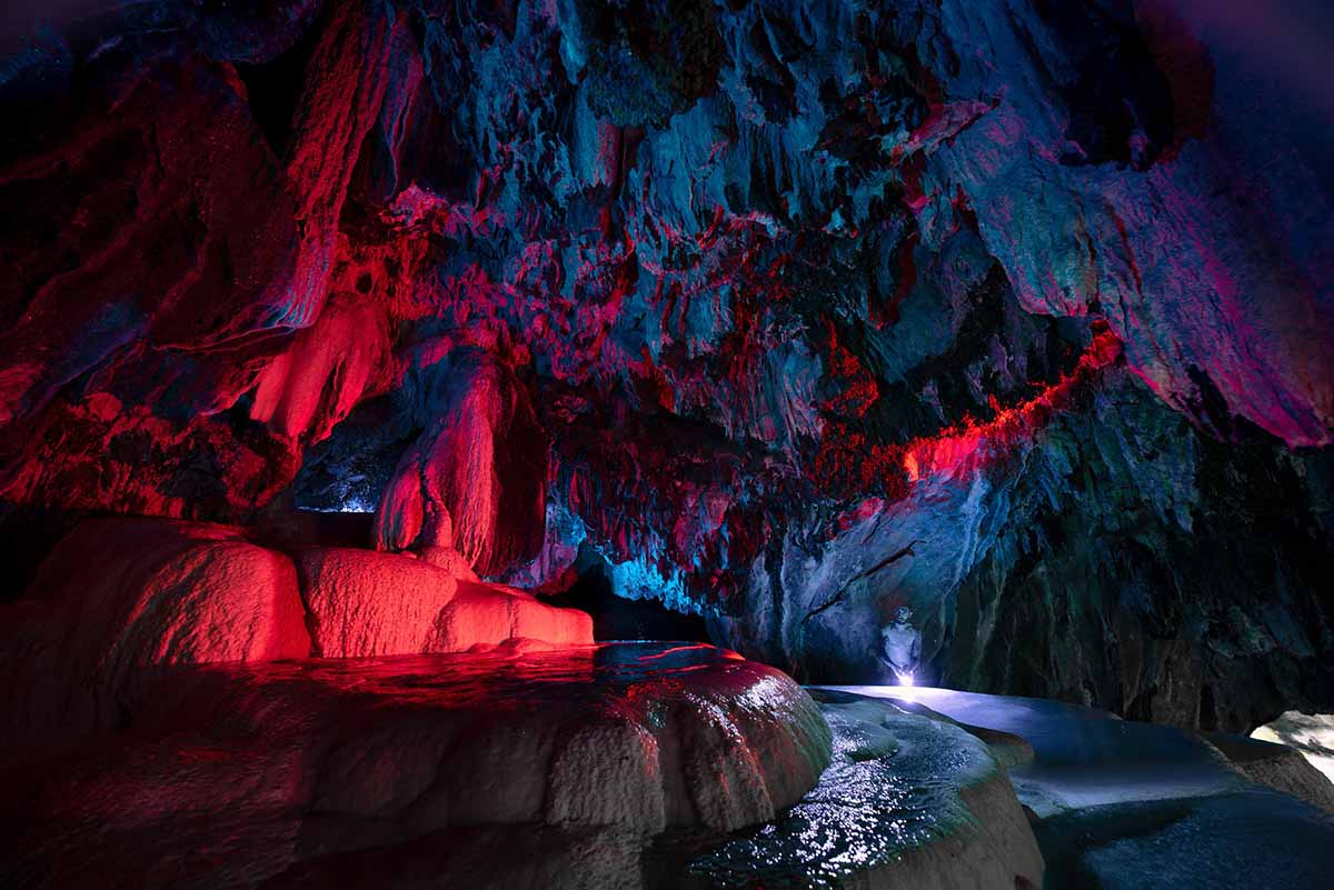
To take the following photos, the photographer visited the night, and used various lights.
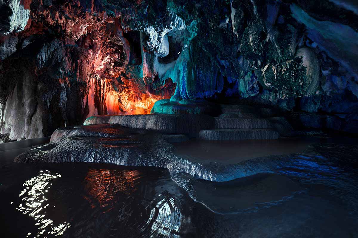
Following the initial cave, the “swimming pools” cave becomes accessible. The pools, along with the local inhabitants and crustaceans, can be observed in relatively warm water temperatures. It is advised to proceed with caution and avoid crossing them.
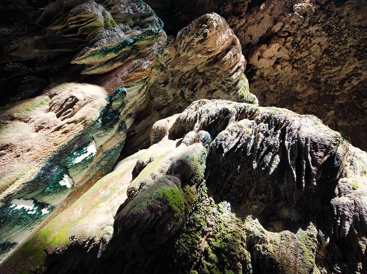
To access the next chamber in the cave, a reduction in the water level is necessary. For safety reasons, it is advisable to use a rope to maintain contact with the wall while continuing along the path.
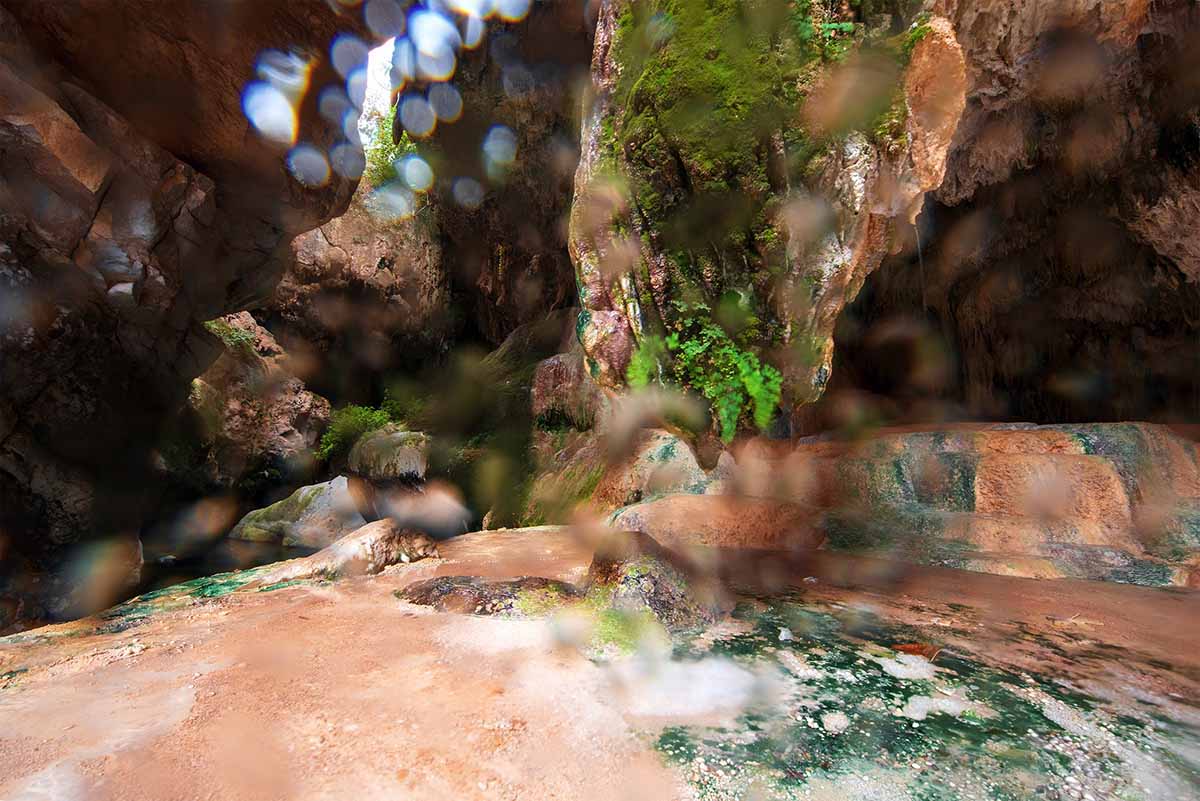
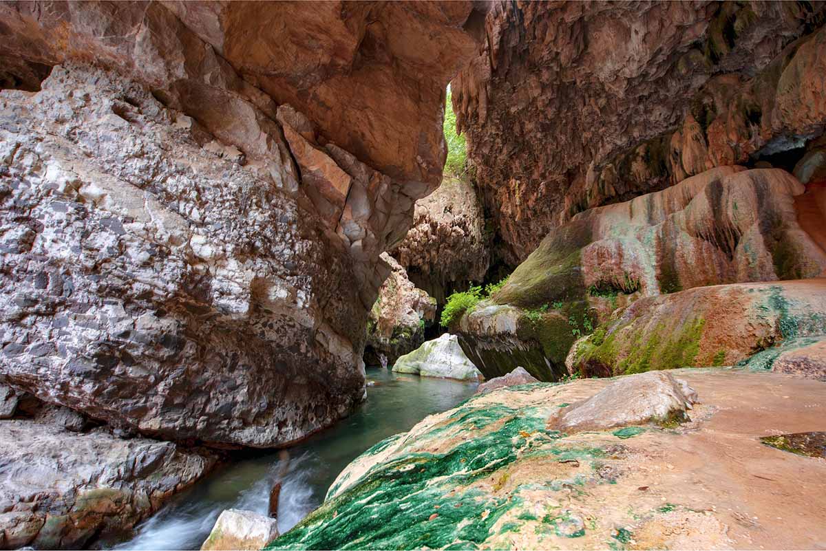
The next hall is a unique monument. Where did Photographics have it possible to raise the top with the rope? There are green “things” in the area. Who knows what they are?
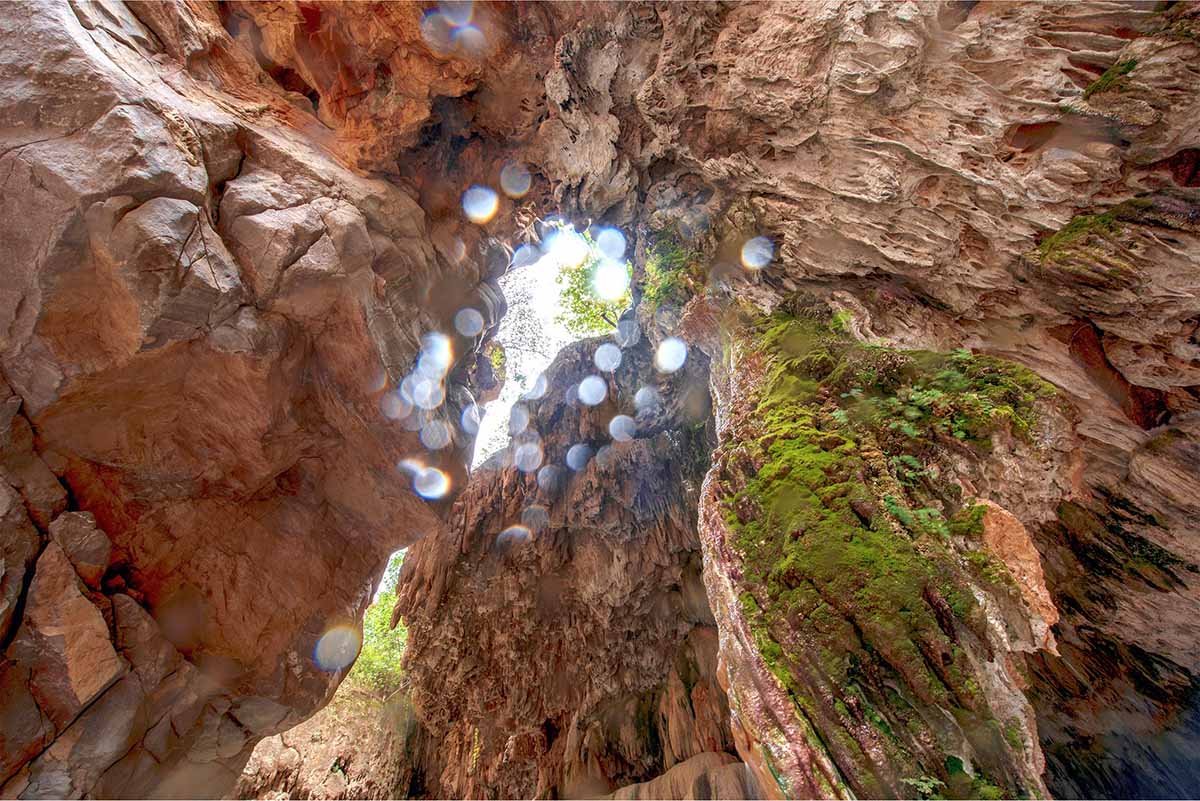
The “Stone Curtain” opens in front of you in the top of the hall. Stiring water dripping on your sloping walls. The “classic” tourists come at the top section, some of whom love to throw different subjects to the gorge. Be careful not to miss something on your head.
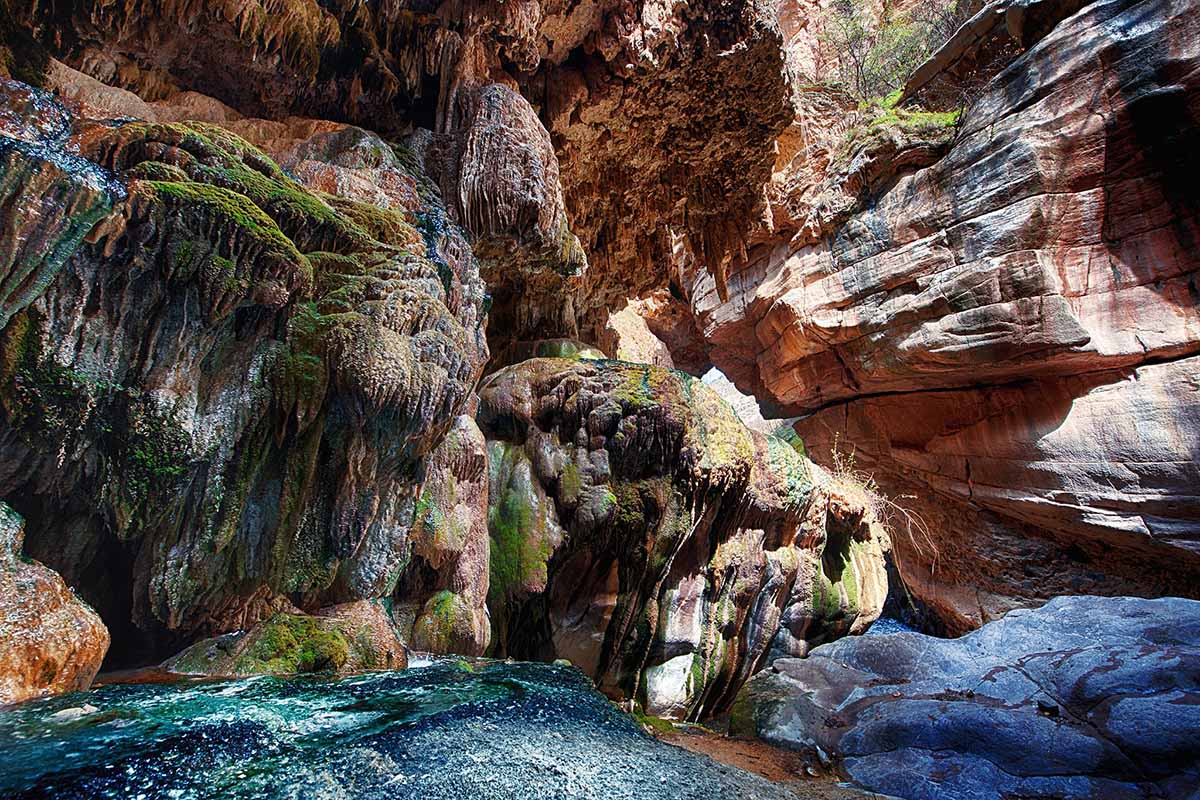
It is necessary to calculate the corner of the sun, which light will brighten the inner walls of the gorge.
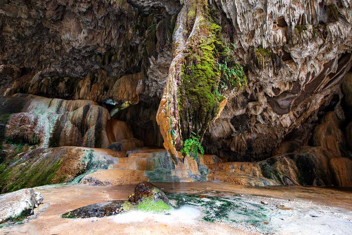
There is a stone under the stone curtain, which deserves to have a special name. Mineral water flows from stone.
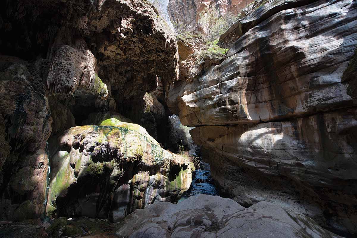
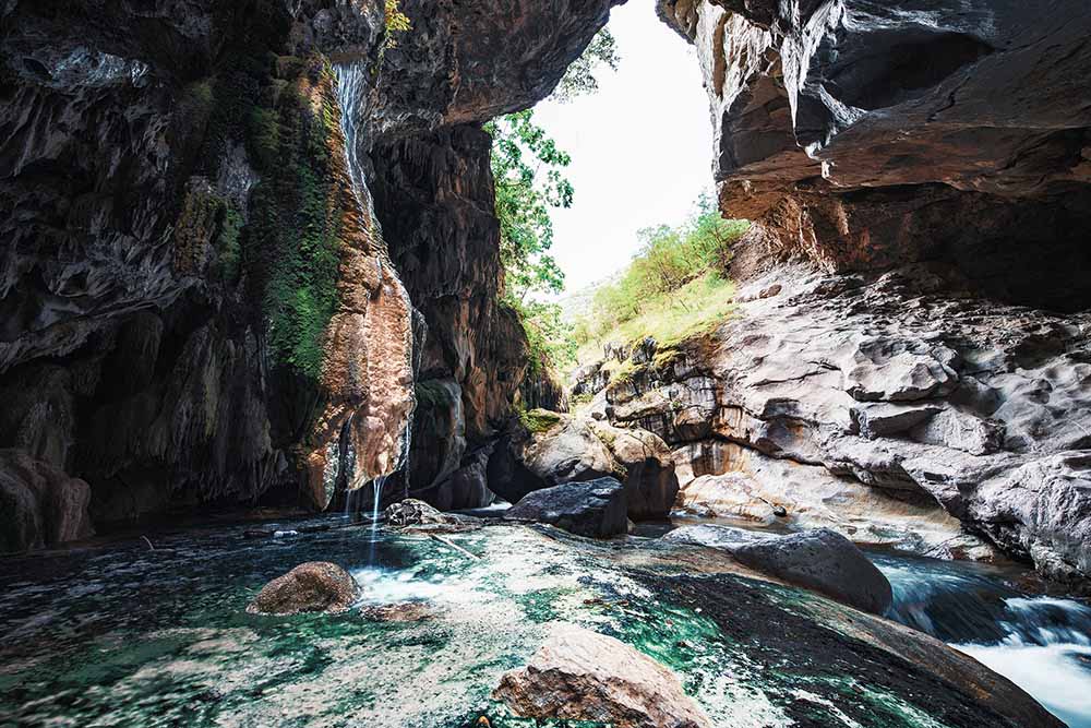
In order to reach the next area, you must descend from the wall ahead.
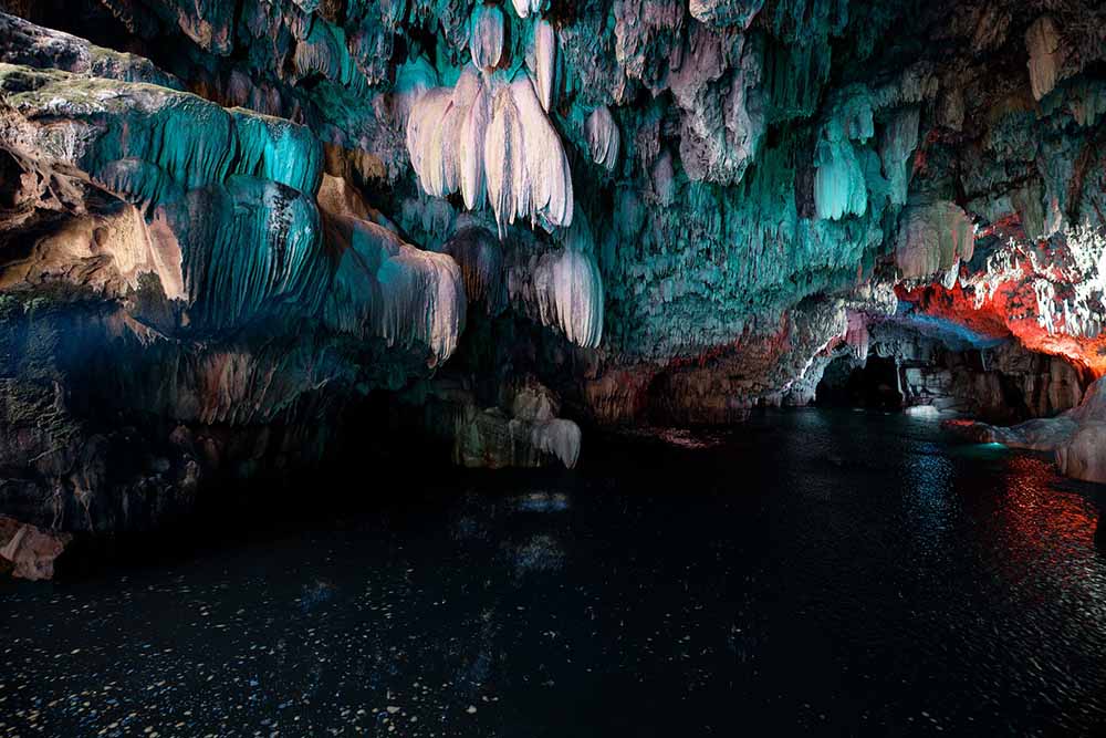
The location’s name includes the term “bridge” because the cave’s continuation runs beneath the Tatev-Shinuhayr road. While it is possible to swim through the cave, doing so is hazardous. Additionally, it is important to note that after crossing the bridge, you will need to make your way back upstream against the river’s current.
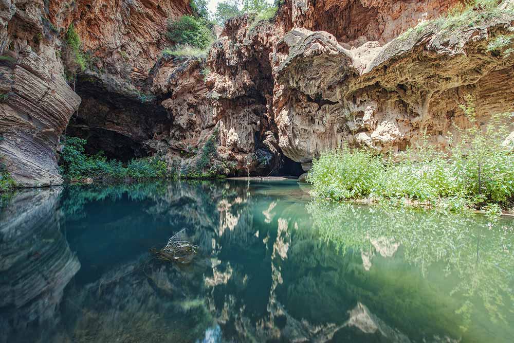
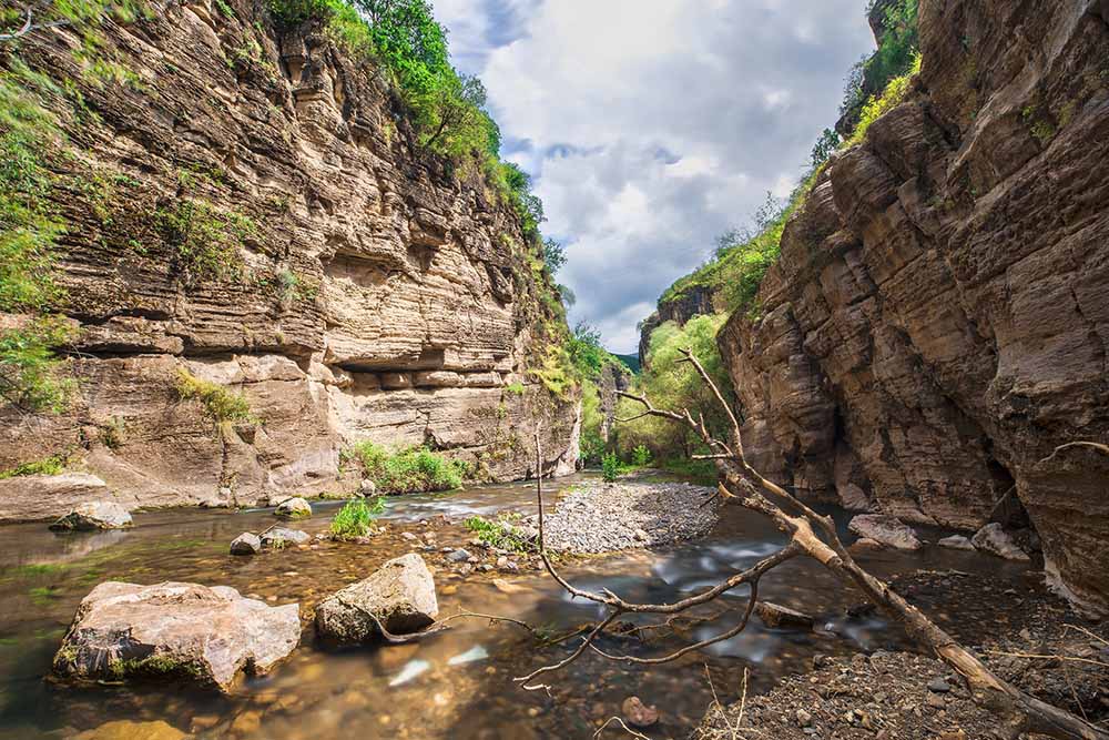
The opposite side of the Devil’s Bridge has been viewed by a limited number of individuals due to its challenging accessibility. Capturing photographs of the area has proven to be especially difficult due to the complicated terrain. Expeditions have had to resort to lowering their equipment across the rope to obtain shots from this side.
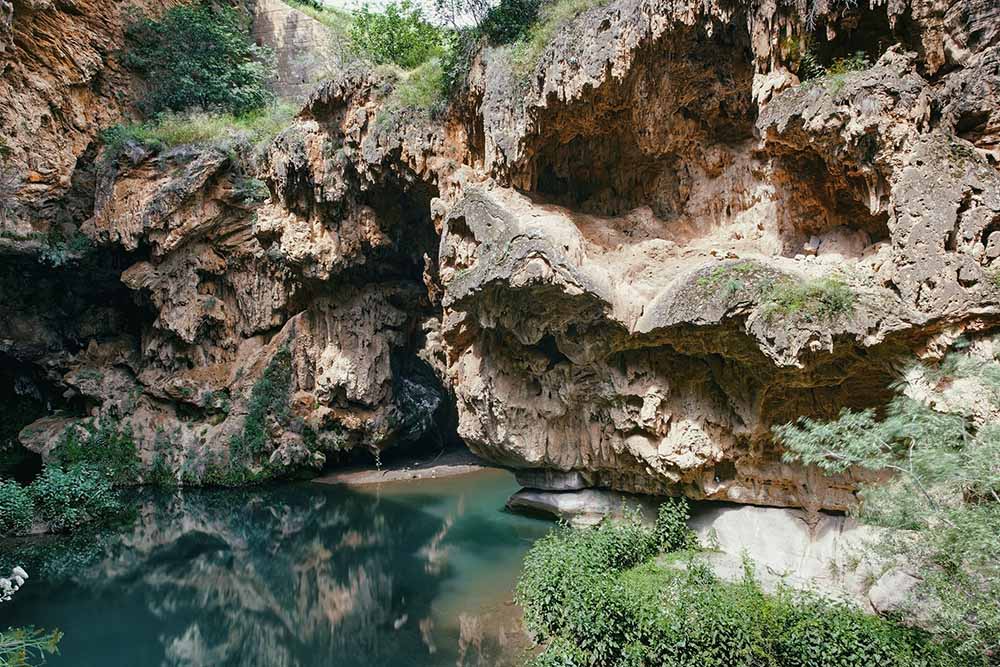
The continuation of the Devil’s Bridge is a mussy gorge. When you cross the Tate Ropeway, remember to go over this gorge. On the other hand, it is possible to climb on the way, but the road is very dangerous, don’t forget to take sticky shoes.
The expedition story and photos by Cosmo Deus.


